
GNSS: how GPS differs from Galileo, GLONASS and BeiDou
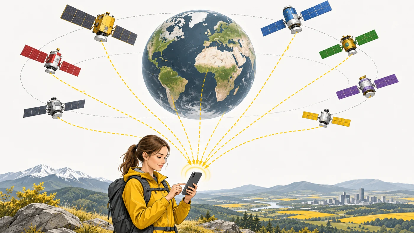
GNSS (Global Navigation Satellite System) is the general name for satellite navigation systems: GPS (US), Galileo (EU), BeiDou (China), GLONASS, plus regional QZSS (Japan) and NavIC (India). Phones and watches use several systems at once.
In plain words
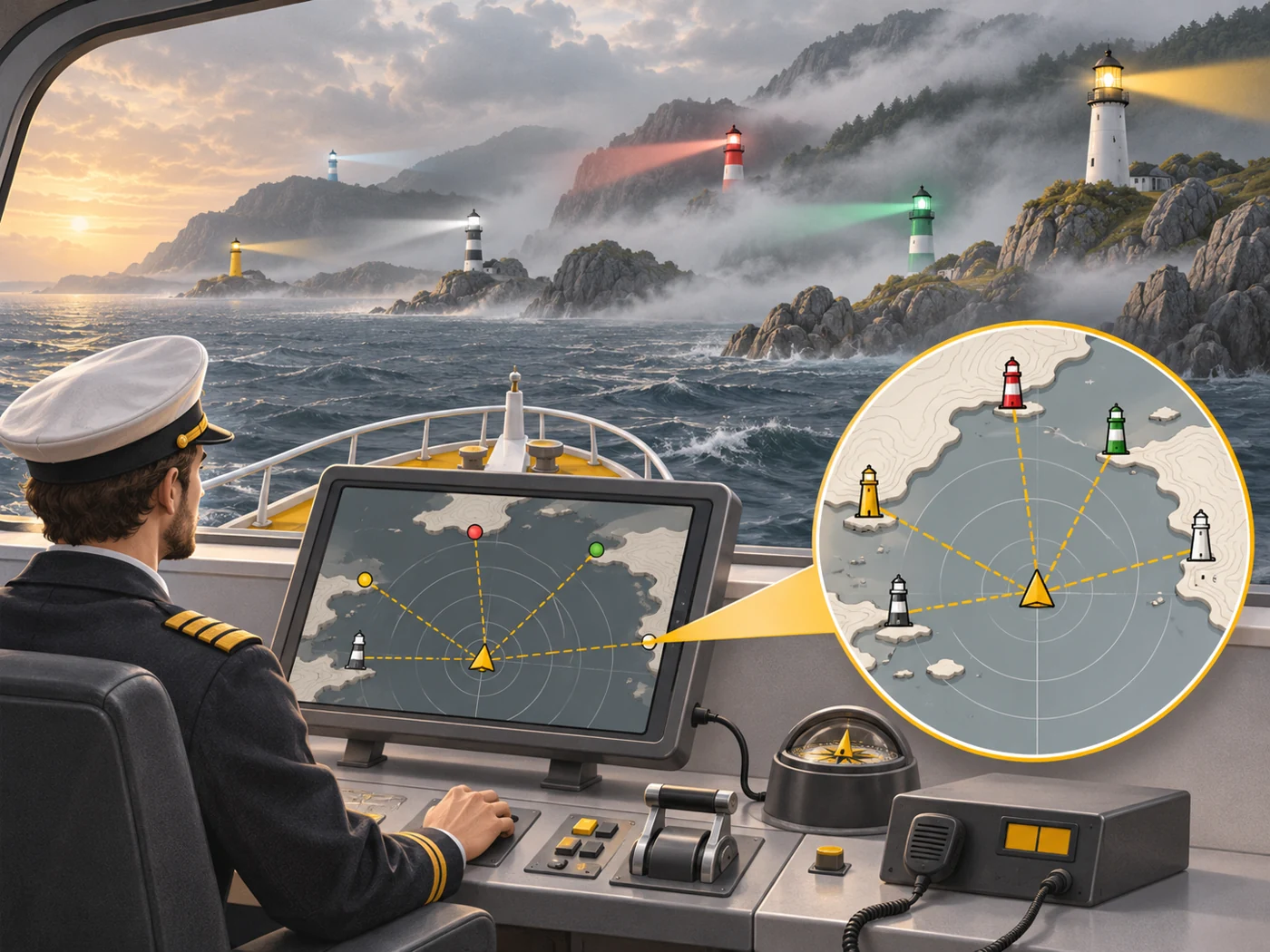
GPS is like one network of lighthouses along a coast. GNSS is like all the lighthouses of every country together. The more lighthouses a ship can see, the more precisely it knows where it is - especially when some are hidden by cliffs or fog. That is why your phone "listens" to satellites from several systems.
How it works
- Each satellite constantly broadcasts its exact time and position.
- The receiver in the phone picks up signals from several satellites.
- From the differences in arrival time, it calculates the distance to each.
- At least four satellites are needed to determine a position.
- The more satellites from different systems, the faster and more accurate the fix.
Where you'll see it
In the specs of phones, watches, car navigators and drones: "GPS, Galileo, BeiDou, GLONASS, QZSS". In our watch comparisons, the Navigation row. A-GPS also helps find satellites faster using the internet.
Does it matter when buying
Almost all modern devices support several systems, so it is rarely a deciding factor. Dual-band reception and antenna quality matter more. For a watch that records workouts without a phone, navigation accuracy is one of the key specs.
Myths
- Myth: GPS needs internet. Reality: GPS itself works without internet; the internet only speeds up the start (A-GPS) and downloads maps.
- Myth: GPS is the only system. Reality: There are several global and regional systems that work together.
FAQ
Why does navigation take a long time to "find" satellites?
Without A-GPS assistance data, and after a long break, the search outdoors takes longer.
What is A-GPS?
Assistance via mobile internet: the phone downloads data on where the satellites are.
Does GNSS work on the underground?
No, satellite signals do not reach underground.
Related terms
Dual-band GPS (L1 + L5), Sensor fusion, Autonomous navigation, Drone (UAV)